


Professional Land Surveying Services
Accurate land surveying solutions for homeowners, builders, developers, engineers and consultants throughout British Columbia.
Surveying Services
From residential boundary surveys and topographic surveys to construction layout, strata developments and as-constructed surveys, Spatial Surveys delivers accurate, dependable land surveying solutions throughout British Columbia.
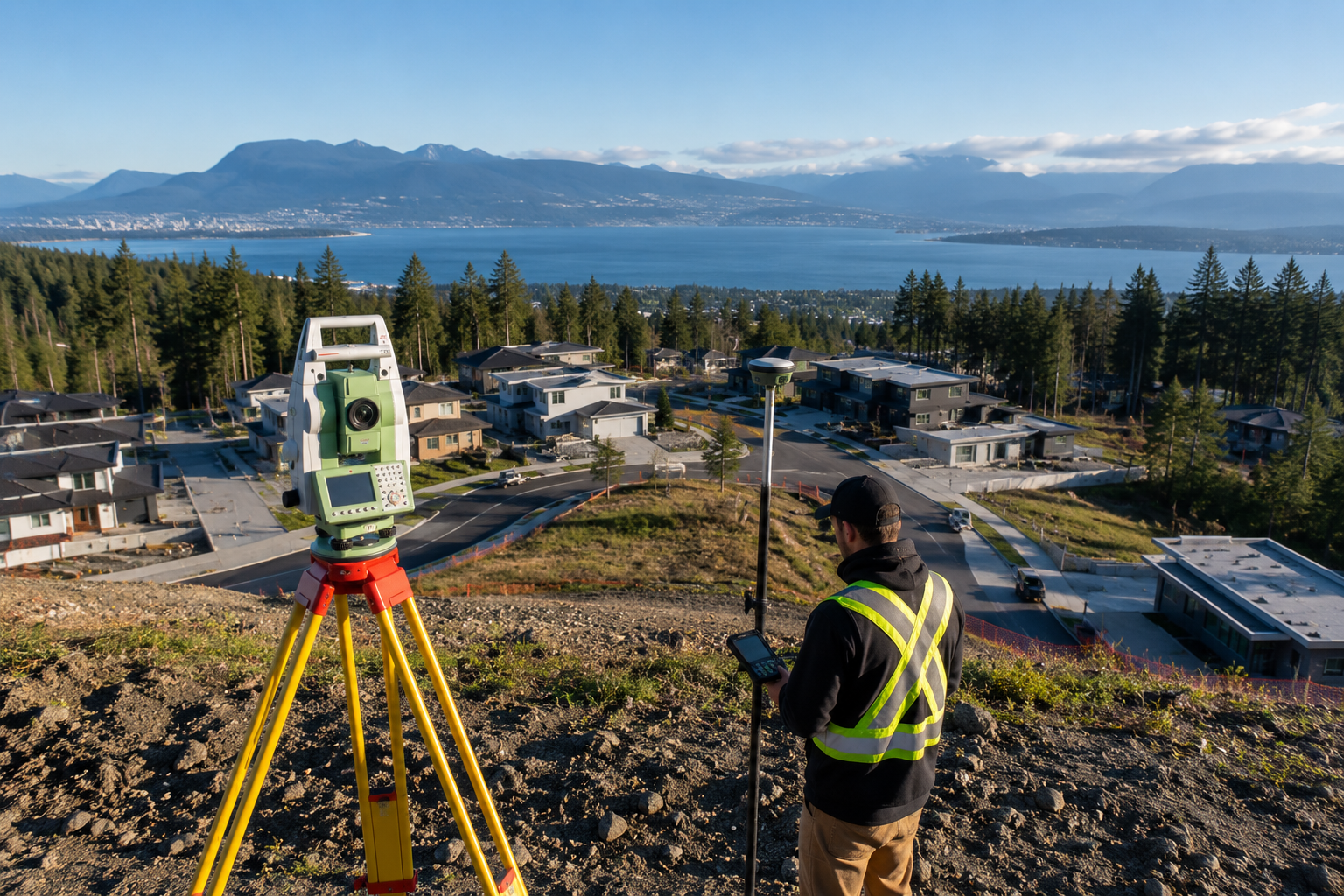
Topographic Surveys
Topographic surveys provide a detailed and accurate representation of your property's existing features, including ground levels, buildings, trees, utilities, fences, retaining walls and other visible site features. They form the foundation for architectural design, engineering, development applications and construction planning, helping ensure your project starts with reliable, accurate information.
Typical Applications
✓ Residential developments
✓ New home design
✓ Building additions & renovations
✓ Architectural & engineering design
✓ Municipal development applications
✓ Site planning & landscape design
Planning a new project? Our experienced team can provide the accurate survey information needed to get started.
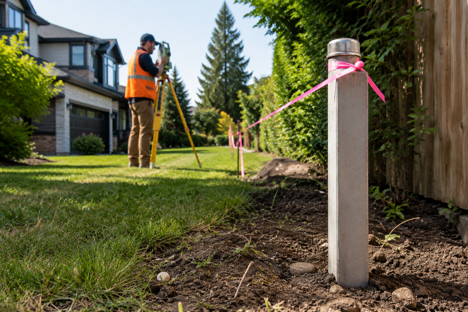
Boundary Surveys
Boundary surveys accurately establish the legal boundaries of a property by locating or restoring survey monuments and reviewing registered plans and land title information. They provide clarity for construction, fencing, property improvements and resolving uncertainty about where a property begins and ends.
Typical Applications
✓ Planning a new fence or retaining wall
✓ Building an addition, garage or accessory structure
✓ Confirming property lines before construction
✓ Purchasing or selling a property
✓ Resolving a boundary concern or disagreement
✓ Locating missing or disturbed survey posts
Need clarity on your property boundaries? Our experienced team can accurately locate and define your property lines.
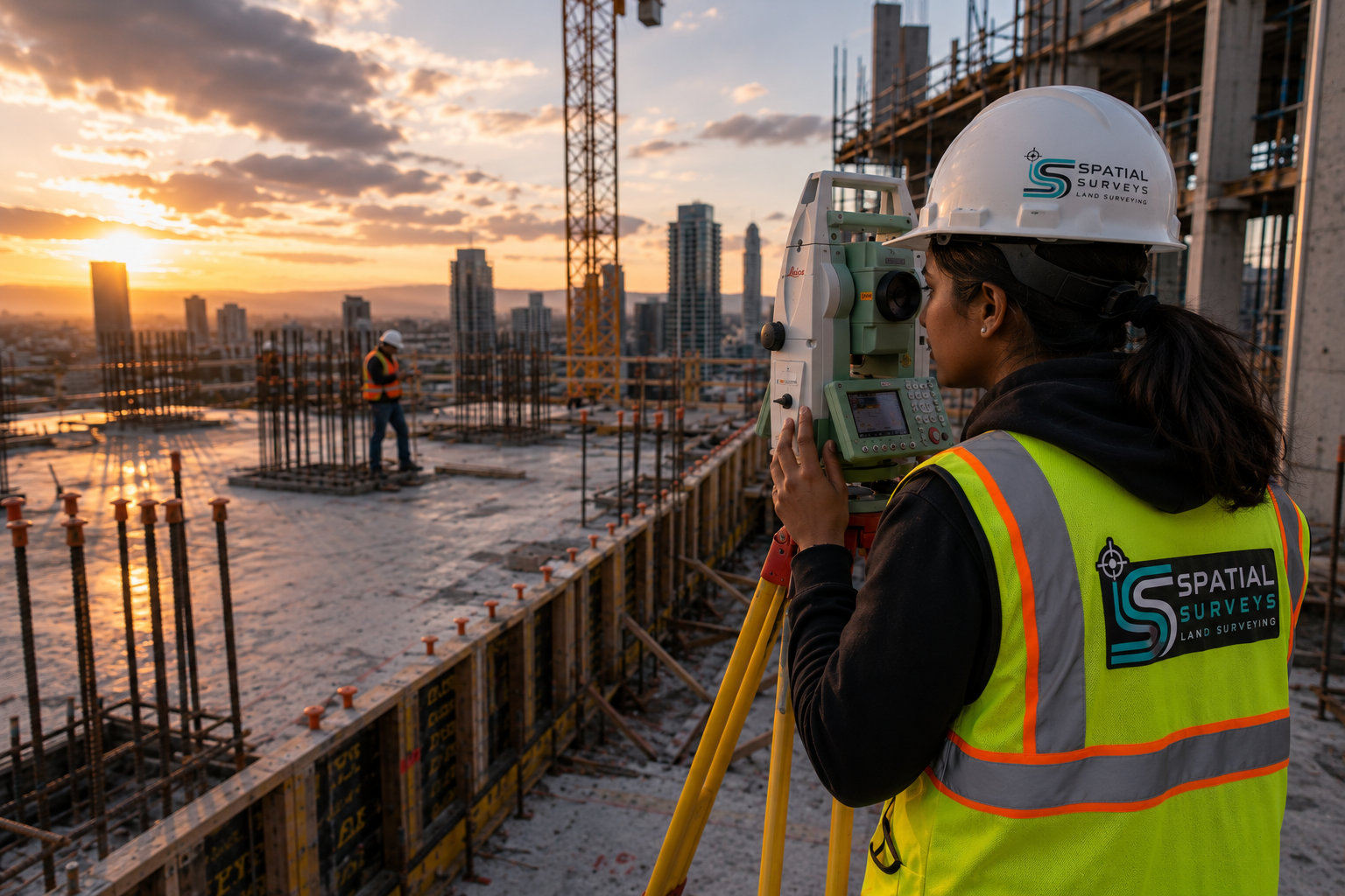
Construction Layout
Construction layout surveys accurately transfer engineering and architectural designs from plans to the ground, ensuring structures are built in the correct location and to the required design. Using modern survey equipment, we provide precise layout services that help contractors minimise errors, reduce costly rework and keep projects on schedule.
Typical Applications
✓ Residential homes
✓ Commercial buildings
✓ Foundations & footings
✓ Concrete formwork
✓ Underground services
✓ Roads, curbs & infrastructure
Building with confidence starts with accurate layout. Our experienced team delivers precise construction set-out services to keep your project on schedule from day one.
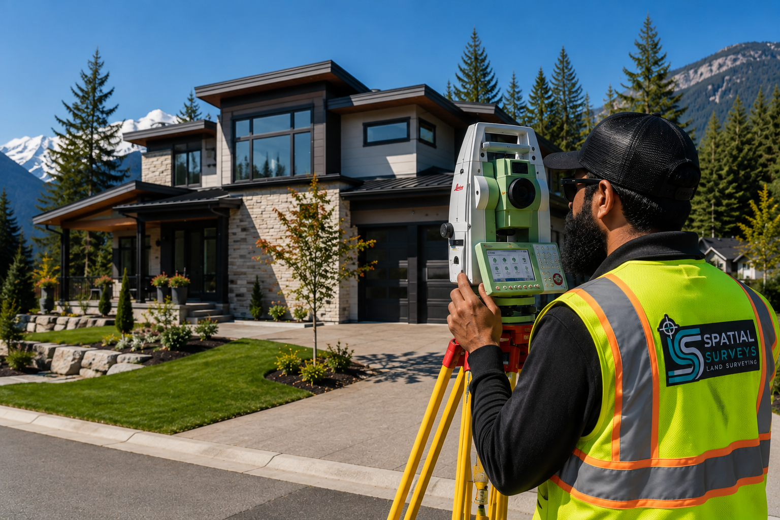
Building Certificate Surveys
Building certificate surveys confirm the location of a completed building or structure relative to property boundaries, setbacks and municipal requirements. They are commonly required by local authorities before occupancy or final approval, providing confidence that construction has been completed in accordance with approved plans.
Typical Applications
✓ New residential homes
✓ Building permit compliance
✓ Municipal occupancy requirements
✓ Additions & major renovations
✓ Secondary suites & accessory buildings
✓ Final construction certification
Need a building certificate? Our experienced team provides accurate certification surveys to help keep your project moving toward final approval.
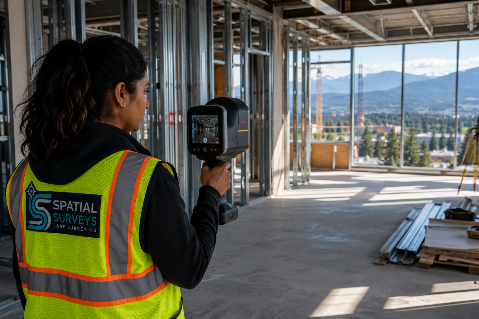
Strata & Subdivision Surveys
Strata and subdivision surveys support the creation of new developments by accurately defining property boundaries, road alignments, easements and legal parcel configurations. Working closely with developers, engineers, planners and local authorities, we deliver precise survey information that helps projects progress efficiently from planning through to registration.
Typical Applications
✓ Residential subdivisions
✓ Bare land strata developments
✓ Multi-unit developments
✓ Road dedications & easements
✓ Land title registration
✓ Development approvals
Planning a subdivision or strata development? Our experienced team delivers accurate surveying solutions to support every stage of your project.
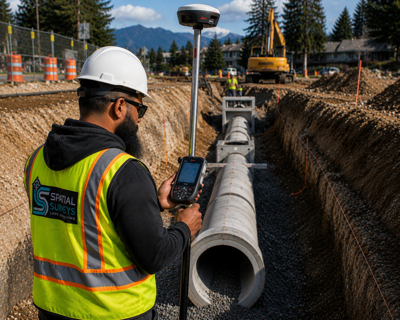
As-Constructed Surveys
As-constructed surveys accurately document the final location, elevation and configuration of completed construction works. They provide a reliable record of what was built and are commonly required by engineers, municipalities, contractors and project owners for approvals, record drawings and project closeout.
Typical Applications
✓ Underground utilities
✓ Roads, curbs & sidewalks
✓ Drainage infrastructure
✓ Building foundations
✓ Retaining walls
✓ Municipal and engineering record drawings
Need an accurate record of completed construction? Our experienced team provides dependable as-constructed surveys to support approvals, documentation and project closeout.
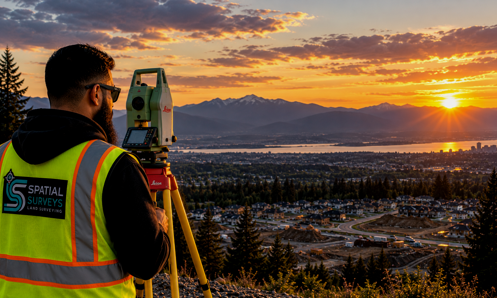
Built on Accuracy.
Driven by Precision.
Supporting homeowners, builders, developers and engineers throughout British Columbia with accurate, dependable surveying solutions.